The Colorado
River
Carved by five million years of relentless flow, the Colorado River created the Grand Canyon, sculpted the Colorado Plateau, and remains the most iconic river in the American West — and the world's greatest rafting destination.
America's Most Storied River
The Colorado River is the lifeblood of the American Southwest. Born high in the Rocky Mountains of Colorado, it flows 1,450 miles through canyon country, desert, and plateau before emptying — today a trickle, where once a roaring torrent — into the Gulf of California.
The river carved the Grand Canyon over millions of years, shaped the red-rock landscapes of Utah and Arizona, and sustained Indigenous peoples for thousands of years before European explorers ever glimpsed its waters. Today, it provides drinking water to 40 million people across seven U.S. states and supports $1.4 trillion in annual economic activity.
But for those who come to Moab, the Colorado River means something more elemental: cold water, sunlit canyon walls, and the rare freedom of moving through one of the earth's most ancient and beautiful landscapes at the pace of a current.
"The Colorado is not a tame river. It is a wild and unforgiving teacher — one whose classroom is the most spectacular on Earth." — John Wesley Powell, 1869
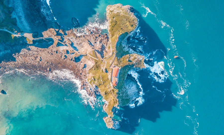
Where Does the Colorado River Flow?
From Rocky Mountain snowmelt to sun-bleached canyon country, the Colorado travels through seven states and carves some of the planet's most dramatic terrain.
The River's Path
From elevation 14,000 feet to sea level, the Colorado descends through the heart of the American West — crossing alpine meadows, high desert, and ancient canyon country before reaching the sea.
See Colorado River Tours →Rocky Mountain National Park, Colorado
The Colorado River begins as a small stream on the western slopes of the Continental Divide, fed by snowmelt at elevations above 10,000 feet. The La Poudre Pass area in Rocky Mountain National Park marks the true source.
Canyon Country & Moab, Utah
The river enters Utah and carves through the Colorado Plateau, creating the iconic red-rock canyon country around Moab. This is where most guided rafting adventures begin — in sections like the Moab Daily stretch, Fisher Towers, Westwater Canyon, and the mighty Cataract Canyon within Canyonlands National Park.
The Grand Canyon
The river's most famous achievement: a 277-mile gorge up to 18 miles wide and more than a mile deep. The Grand Canyon exposes two billion years of geological history in its layered walls — a wonder that took five million years of river erosion to create.
Hoover Dam & Lake Mead
Below the Grand Canyon, the Hoover Dam — completed in 1936 — tamed the river and created Lake Mead, the largest reservoir in the United States by volume. The dam transformed the Colorado from a wild seasonal flood into a managed water supply system.
Gulf of California
Historically, the Colorado discharged 16 million acre-feet of water annually into the Gulf of California, creating a vast estuary delta. Due to upstream diversions, the river now rarely reaches the sea — but restoration projects are working to revive the delta ecosystem.
Why the Colorado River Is the Ultimate Rafting Destination
Not all rivers are created equal. Here's why the Colorado River has captivated adventurers, scientists, artists, and explorers for over 150 years.
Unrivaled Canyon Scenery
From the salmon-colored walls of Westwater Canyon to the soaring red towers above Fisher Towers, rafting the Colorado means floating through landscapes that seem too beautiful to be real. Every bend reveals something extraordinary.
Something for Every Skill Level
Whether you want a peaceful half-day float with the family, a full-day adventure with Class III–IV rapids, or a multi-day expedition through Class V whitewater in Cataract Canyon, the Colorado River delivers — at every level of experience.
Ancient Geology Brought to Life
The Colorado River cuts through layers of sedimentary rock spanning 300 million years. Your guide will point out Navajo Sandstone, Entrada formations, and the ancient seabed deposits visible in the canyon walls — geology you can reach out and touch.
Rich Indigenous & Pioneer History
The Ancestral Puebloans, Ute, Navajo, and other nations called the Colorado River home for millennia. Petroglyphs, cliff dwellings, and historic inscriptions line its banks. John Wesley Powell's 1869 expedition through the Grand Canyon remains one of history's great adventures.
Wildlife at Every Turn
Great blue herons fish the shallows. Bald eagles soar overhead. River otters slip beneath the surface. Bighorn sheep scramble up canyon walls. The Colorado River corridor is one of the most biodiverse wildlife corridors in the entire Southwest.
Accessible from Moab
Moab is the gateway to the Colorado River's most spectacular and diverse rafting sections. From mellow floats within minutes of downtown Moab to serious multi-day expeditions, no other town in the U.S. offers such immediate access to such extraordinary river experiences.
The Colorado River's Notable Rapids
From playful wave trains to heart-stopping Class V monsters, the Colorado River offers a full spectrum of whitewater excitement.
Moab Daily Section
The classic introduction to Colorado River rafting. The Moab Daily stretch offers scenic flat-water interspersed with mild rapids — perfect for families, beginners, and anyone who wants to experience the canyon without the adrenaline. Departures happen daily from Moab.
Westwater Canyon
One of the most concentrated stretches of whitewater in Utah — 17 miles of Class III–IV rapids packed into a narrow black schist canyon. Skull Rapid is the signature challenge: a turbulent Class IV that demands respect and rewards you with the rush of a lifetime. A day trip from Moab.
Cataract Canyon
The jewel of Canyonlands National Park and the most serious whitewater on the Colorado in Utah. Cataract Canyon contains 30 rapids in 14 miles — including the legendary Big Drops, a trio of Class V monsters that have humbled the most experienced paddlers. A multi-day expedition.
Fisher Towers Section
An extraordinarily scenic stretch of the Colorado beneath the iconic Fisher Towers — one of Moab's most photographed formations. Calm enough for beginners but visually overwhelming for anyone. The towering sandstone spires reflected in glassy water create a surreal, unforgettable experience.
Ruby & Horsethief Canyons
A popular multi-day route upstream of Westwater Canyon, passing through remote canyon country with Dominguez and Escalante inscribed on canyon walls dating to 1776. Wildlife sightings here are exceptional, and the scenery rivals anything in canyon country.
Grand Canyon
The ultimate Colorado River experience — a two-week expedition through the world's most iconic gorge, with legendary rapids like Crystal, Lava Falls, and the House of Rock. A bucket-list journey that requires advance planning and an experienced outfitter.
Colorado River Tours from Moab
From a two-hour sunset float to an eight-day Grand Canyon expedition, our outfitters offer every kind of Colorado River experience — for every schedule, budget, and skill level.
Moab Half Day & Moab Daily
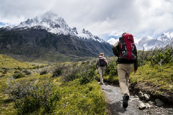
The perfect introduction — a scenic 2–4 hour float through the red-rock canyon country right outside of Moab. Suitable for all ages. Departs daily. No experience required.
View Moab Daily Trip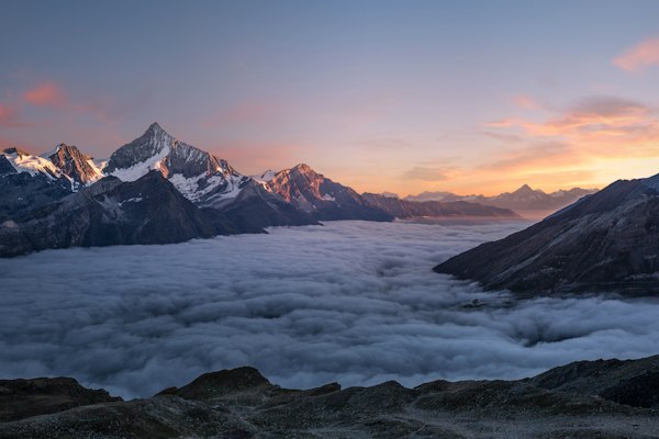
Westwater Canyon
The Colorado River's most exciting day trip — 17 miles of Class III–IV rapids through a dramatic black schist canyon. Minimum age 12. High-adrenaline, guided adventure.
View Westwater Canyon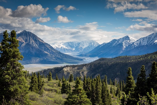
Cataract Canyon
The Colorado River at its wildest: a multi-day journey through Canyonlands National Park, ending with the legendary Class V Big Drops. For those who want the full Colorado River experience.
View Cataract CanyonA River Shaped by History
Long before Europeans arrived, the Colorado River was the center of civilization in the American Southwest. The Ancestral Puebloans (sometimes called Anasazi) built remarkable cliff dwellings and granaries along its banks and tributaries, many of which are still visible today from the river.
Spanish missionaries Dominguez and Escalante crossed the Colorado in 1776 near what is now known as the Crossing of the Fathers in Utah. Their inscription can still be found on canyon walls along the Ruby–Horsethief section near Moab.
The river's modern story begins with John Wesley Powell — a one-armed Civil War veteran who led the first documented expedition through the Grand Canyon in 1869. Powell and his crew of nine men descended 1,000 miles of uncharted river in wooden boats, emerging 99 days later having mapped one of the last unknown regions of the contiguous United States.
Powell's journals remain one of the great adventure narratives in American history. His expedition also marked the beginning of scientific study of the Colorado River and the Colorado Plateau — a legacy that continues today through ongoing research into the river's hydrology, ecology, and geology.
In the 20th century, massive dam projects — Hoover (1936), Glen Canyon (1966), and others — fundamentally altered the river's character, regulating its flow and creating vast reservoirs. Today, the Colorado faces a new challenge: chronic drought and overallocation that have pushed Lake Mead and Lake Powell to historic low levels, raising urgent questions about the river's future.
Wildlife of the Colorado River
The canyon corridors of the Colorado River support a remarkable diversity of life — from raptors riding thermal currents above canyon walls to fish that evolved in total isolation.
Bald Eagle
A frequent sight along the Colorado, especially in winter months. Eagles perch on cliff ledges and soar along the canyon corridors on thermal currents.
Bighorn Sheep
Desert bighorn sheep are regularly spotted on canyon walls, demonstrating astonishing agility on nearly vertical rock faces above the river.
River Otter
Once nearly extinct from the Colorado, river otters have been successfully reintroduced to the Moab area and are now seen regularly on the river.
Great Blue Heron
These patient hunters stand motionless in the shallows, waiting to strike. Herons are among the most commonly encountered birds on a Colorado River float trip.
Canyon Wildlife
Peregrine falcons, canyon wrens, mule deer, coyotes, and red-tailed hawks are all common sightings along the canyon walls and riverbanks.
Native Fish
The Colorado is home to rare native fish including the humpback chub and Colorado pikeminnow — species that evolved in isolation over millions of years and exist nowhere else on Earth.
Riparian Plants
Cottonwood groves, tamarisk, willows, and desert wildflowers line the banks. The riparian zone of the Colorado is one of the most ecologically vital habitats in the entire Southwest.
Night Sky
Camping along the Colorado means access to some of the darkest, most star-filled skies in North America. The canyon walls amplify the sense of depth and scale of the Milky Way overhead.
300 Million Years of Earth History
Rafting the Colorado River is a journey through geological time. The river's canyon walls expose layer upon layer of sedimentary rock — each stratum representing a different chapter in the Earth's history, visible at river level in a way that no textbook can replicate.
The uppermost canyon walls near Moab are composed of Entrada Sandstone — a 150-million-year-old desert dune field now turned to stone, responsible for the iconic amber and red formations that define the Moab landscape. Beneath it lies the Navajo Sandstone, an even older dune system remarkable for its cross-bedded, swirling patterns.
Deeper in Westwater Canyon, the river cuts through the Precambrian Vishnu Basement Rocks — ancient metamorphic formations 1.7 billion years old, among the oldest exposed rock on Earth. The black schist walls feel primordial, and they are.
In the Grand Canyon, the geological record extends even deeper — to Zoroaster Granite nearly two billion years old at the river's edge, and the Tapeats Sandstone recording the ancient Cambrian sea that once covered this land over 500 million years ago.
Your guide will interpret these layers as you float past them — turning what might seem like "just rock" into a vivid, accessible story of time, pressure, water, and change.
Colorado River Questions, Answered
Everything you need to know before booking your Colorado River adventure — from basic geography to practical trip planning.
Full FAQ Page →How long is the Colorado River?
The Colorado River is approximately 1,450 miles (2,334 km) long, flowing from its headwaters in Rocky Mountain National Park, Colorado, through the canyon country of Utah and Arizona, along the Nevada–California border, and into Mexico before emptying (historically) into the Gulf of California.
Where does the Colorado River flow through Utah?
In Utah, the Colorado River flows from the northeastern corner of the state through the Moab area — including the Moab Daily, Fisher Towers, and Westwater Canyon sections — and then through Canyonlands National Park (Cataract Canyon) before continuing south into Arizona at Glen Canyon. The Moab area offers the most accessible guided rafting on the Utah Colorado.
Is the Colorado River good for rafting?
Absolutely. The Colorado River offers some of the world's best rafting — from beginner-friendly flatwater floats near Moab to Class V whitewater in Cataract Canyon and the Grand Canyon. The variety of experiences, combined with extraordinary canyon scenery, makes it the top rafting destination in the American West.
What time of year is best for Colorado River rafting near Moab?
Moab-area Colorado River tours run from spring through fall, with the peak season being late April through September. Spring runoff (April–June) brings higher water and bigger rapids, making it exciting for experienced rafters. Summer (June–September) offers warm weather, calmer flows, and ideal conditions for families and first-timers. Check our tours page for current availability.
Do I need experience to raft the Colorado River?
For most Moab-area Colorado River trips, no prior experience is needed. The Moab Daily, Fisher Towers, and Half Day trips are designed for beginners and families. Westwater Canyon is suitable for participants 12+ with good physical fitness. Cataract Canyon is recommended for those with some prior rafting experience. All trips are led by certified professional guides.
What wildlife might I see on the Colorado River?
Wildlife sightings are one of the highlights of any Colorado River trip. Common sightings include great blue herons, bald eagles, peregrine falcons, bighorn sheep, mule deer, river otters, coyotes, and canyon wrens. The river corridor is one of the most biodiverse habitats in the Southwest, and the canyon walls support nesting raptors and a rich riparian ecosystem.
How was the Colorado River formed?
The Colorado River began carving its canyon country approximately 5–6 million years ago, when uplift of the Colorado Plateau caused rivers to downcut more aggressively. Over millions of years, the river eroded through sedimentary rock layers deposited over the previous 300+ million years — creating the Grand Canyon, Cataract Canyon, Westwater Canyon, and all of the dramatic gorges we see today.
The Colorado River Is Waiting
There is no better way to understand this extraordinary river than to be on it — water beneath you, canyon walls rising on both sides, the smell of desert and river in the same breath. Moab is the gateway. We'll take care of the rest.